When faced with a problem, many people are unsure who to contact. We hope that this guide will help you get the quickest answer to your query, but if in doubt please email our Parish Council Clerk Louise (louise.epc@gmail.com) and she will be happy to direct you.
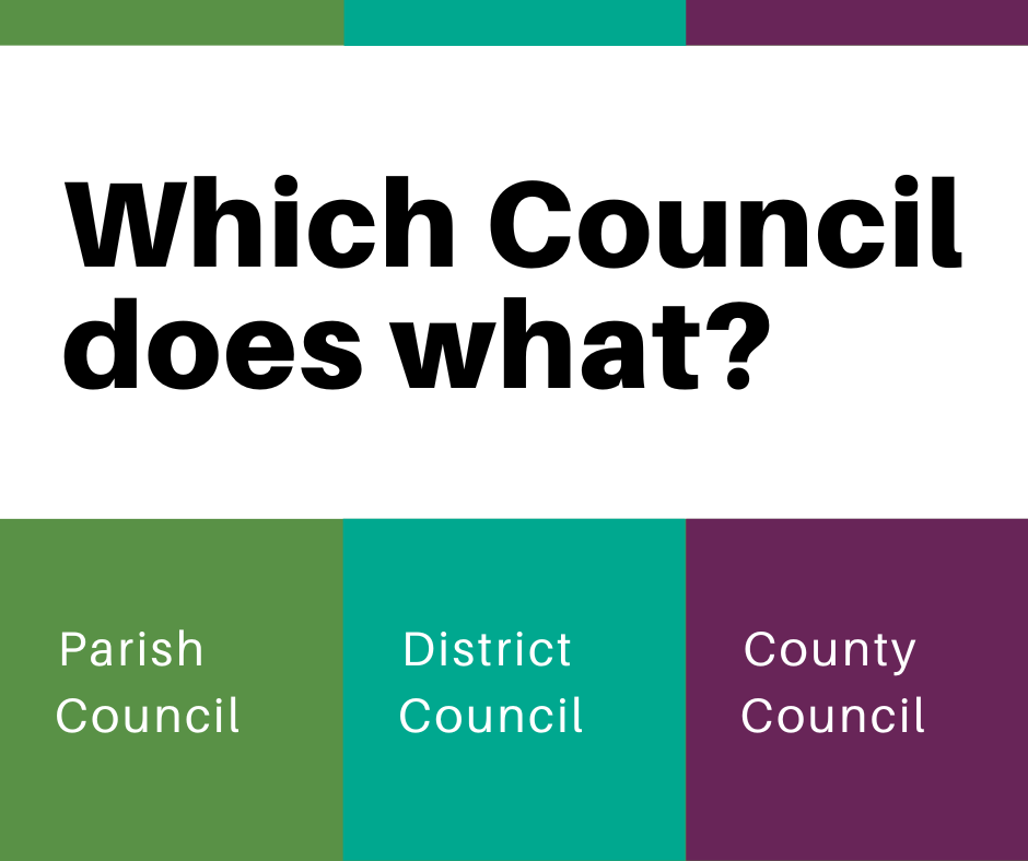
Responsibilities of Essex County Council (ECC)
- Highways (potholes, roads, streetlights, pavements, cycleways, footpaths/rights of way)
- Education
- Libraries
- Emergency planning
- Waste management
- Trading standards
- Travellers
- Social care
- Family services
- See the full A-Z list on the ECC website.
Responsibilities of Uttlesford District Council (UDC)
- Planning
- Housing
- Bin collections
- Fly tipping and pollution
- Street cleaning and verges
- Car parks
- Licensing
- Conservation and the environment
- Animal safety and welfare
- Many sports and leisure facilities
- See the full A-Z list on the UDC website.
Responsibilities of Elsenham Parish Council (EPC)
Grass Cutting
- Recreation ground including the children’s play area
- De Mandeville Road and Oziers open space
- The Spinney
- Elsenham Cemetery (High Street)
- St. Mary’s Churchyard *
- Area fronting Leigh Drive *
- Grass fronting Gilbey Cottages *
- Area on Stansted Road abutting Saunders Close *
- Memorial Garden area and land in front of Memorial Garden
- Junction of Station Road and Broom Farm *
- Station Road at Railway Station, near the royal mail post box *
- Area of land in New Road at junction with Alsa Gardens *
- Junction of Mill Close and Robin Hood Road *
- Footpath adjacent to the Crown Public House, High Street *
- Children’s play area and public grassed area, Isabel Drive
- Area in the High Street near junction with Hailes Wood *
- Area in Stansted Road on south side near the M11 Motorway *
- Smith Road allotment garden.
* Not Parish Council’s land.
Street lights
- Station Road – all 10 streetlights
- New Road – 4 streetlights: outside No.17, outside No.31, by the ‘New Road’ sign, and opposite entrance to Alsa Gardens.
- Fullers End – 1 either side of the Fullers End railway crossing.
- Playing field – top car park and bottom car park
(all other street lights in the village are managed by Essex Highways)
- 2 either side of the entrance at Leigh Drive
- 2 either side of the entrance of the village by the motorway bridge
- 1 on the left-hand side at the entrance of the village, Henham Road
- 2 either side of the entrance of Broom Farm
- 2 by the railway station.
- 1 opposite the corner of Stansted Road and Robin Hood Road.
- Smith Road
- Church Lane (land is owned by the Church)
Areas owned by EPC
- The Spinney
- High Street Cemetery plus chapel
- The Memorial Garden
- Smith Road Allotments
- Open spaces at Oziers and De Mandeville
- The playing field including the children’s play area
- Children’s play area on Isabel Drive
- Grass area opposite play area on Isabel Drive.
- The Pump House on the High Street
Items owned by EPC
- Three notice boards – by the Station, by the Memorial Garden, and by the Primary School
- CCTV cameras in the playing field
Planning
EPC have the right to be consulted on planning applications. Our Planning Committee meets regularly to discuss applications.